Insuring the Future, Intelligently
We unlock large-scale adoption of climate risk management in vulnerable geographies through data and AI.

Our Mission
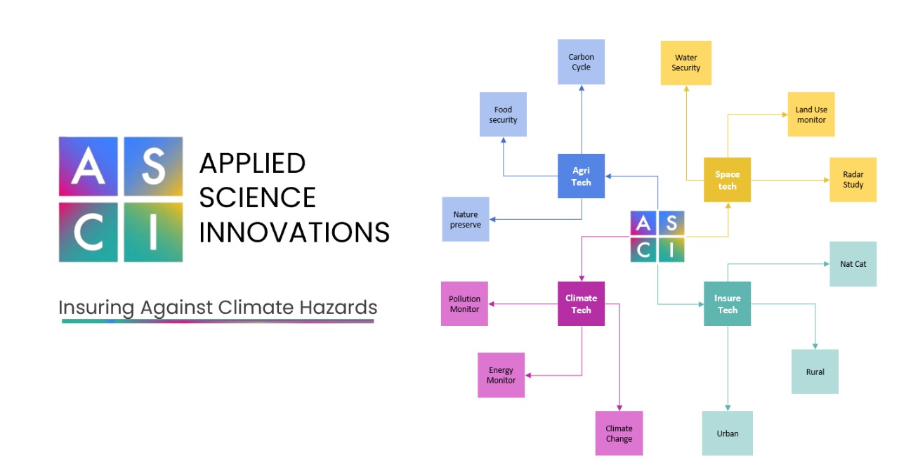
We help insurers, governments, and NGOs tackle climate risk using cutting-edge technology. Our approach is built on three pillars:
Map weather and catastrophe risk at high granularity to underwrite confidently in the face of climate change.
Promote novel insurance products like parametric insurance.
Empower NGOs and local governments to prepare and adapt effectively.
About Us
We are a team of researchers and data scientists with deep expertise in:
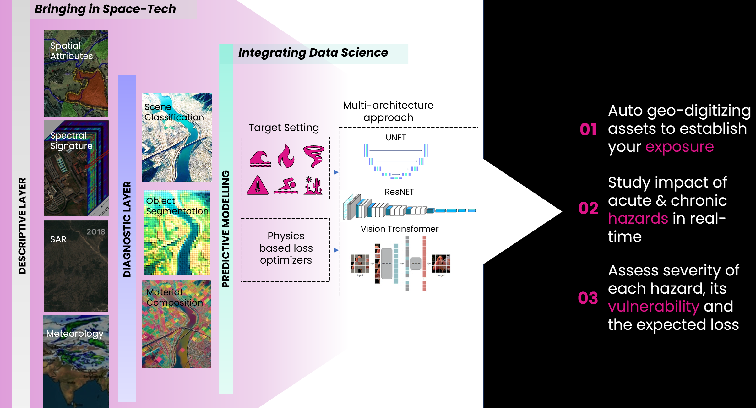
Geospatial AI modeling
Advanced machine learning algorithms applied to geographic data for precise risk assessment.
Hydrological and meteorological simulation
Sophisticated models to predict weather patterns and water-related risks with high accuracy.
Synthetic Aperture Radar (SAR) analytics
Cutting-edge satellite data processing for all-weather, day-and-night earth observation.
Our Platform
Powerful APIs and analytics powered by satellite data, weather information, and AI models to revolutionize climate risk intelligence.
API Infrastructure
Seamless integration of climate risk data into your systems.
Advanced Analytics
Actionable insights from complex satellite and weather data.
Multi-Sensor Satellite Data
High-resolution imagery for risk assessment.
Ground Data Collection
Plug-and-play workflows to ingest and integrate hyperlocal field data.

Applications
Our platform powers a wide range of climate risk intelligence applications.
Ready to transform your climate risk strategy?
Join leading insurers, governments, and NGOs already using our platform.
